Introduction
The small satellite market is witnessing rapid expansion, driven by advancements in remote sensing, agriculture, and climate monitoring. As satellite technology becomes more affordable and accessible, governments, private enterprises, and research organizations are leveraging small satellites, CubeSats, and NanoSatellites to enhance data collection and analysis for environmental sustainability, precision farming, and disaster management. This article explores the key factors fueling the growth of the small satellite market in these critical sectors.
The Role of Small Satellites in Remote Sensing
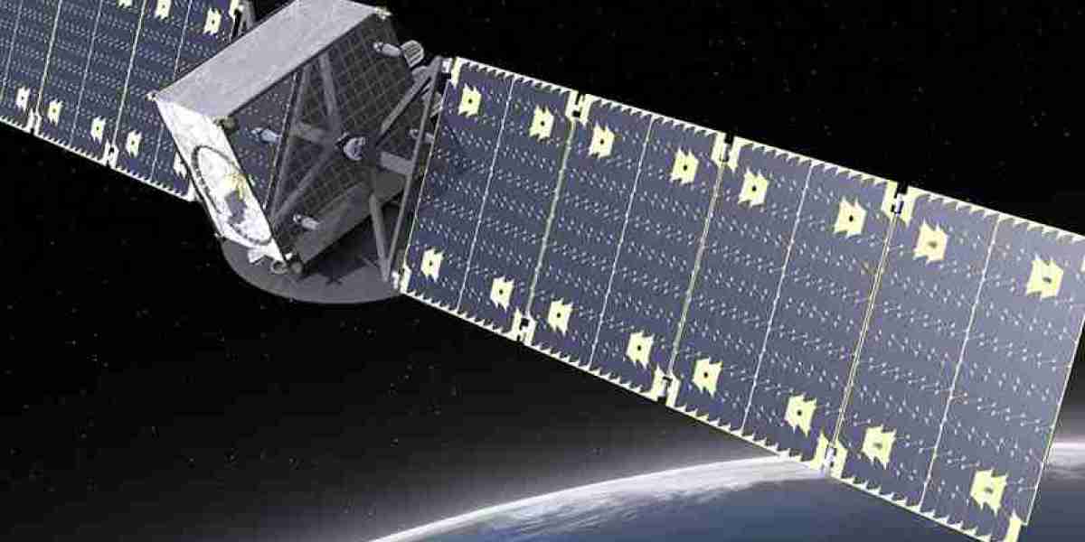
Remote sensing is one of the primary applications of small satellite technology, enabling real-time monitoring of the Earth's surface, oceans, and atmosphere. Small satellites equipped with high-resolution imaging, synthetic aperture radar (SAR), and hyperspectral sensors are revolutionizing how industries and governments collect and analyze spatial data.
1. Advancements in Imaging and Sensor Technology
High-resolution optical and infrared cameras provide detailed imagery for various applications, including land-use planning and disaster response.
Hyperspectral and multispectral imaging enhance the detection of vegetation health, soil composition, and water quality.
SAR-equipped satellites offer all-weather, day-and-night imaging capabilities, ensuring uninterrupted monitoring of natural disasters and environmental changes.
2. Data-Driven Decision Making
AI and machine learning-powered data analytics enable automated processing of large datasets collected by small satellites.
Real-time geospatial insights help industries optimize operations, from logistics to urban planning.
Remote sensing data supports government policies and regulatory decisions related to environmental conservation and climate action.
Small Satellites in Agriculture: Enabling Precision Farming
The agricultural sector is experiencing a transformation with the adoption of small satellite technology. These satellites provide essential data for precision farming, yield prediction, and irrigation management, helping farmers maximize productivity while minimizing resource wastage.
1. Enhancing Crop Monitoring and Yield Forecasting
Satellite-based vegetation indices, such as NDVI (Normalized Difference Vegetation Index), help monitor crop health and detect stress due to pests, diseases, or nutrient deficiencies.
Multi-temporal imaging allows farmers to track crop growth stages and estimate yields with higher accuracy.
Satellite-based forecasting helps in predicting food supply trends and preventing potential shortages.
2. Optimizing Water and Soil Management
Soil moisture monitoring via small satellites helps in precision irrigation, reducing water waste and improving crop yields.
Satellite-based drought prediction models assist in water conservation strategies for sustainable agriculture.
Real-time weather monitoring enables farmers to adapt their practices according to climatic conditions.
3. Mitigating the Impact of Climate Change on Agriculture
Small satellites provide data on changing weather patterns, soil erosion, and desertification.
They enable early detection of crop diseases and invasive species, reducing losses and increasing food security.
Satellite-guided automation in farming equipment enhances precision agriculture, reducing environmental impact.
Small Satellites in Climate Monitoring: Addressing Global Environmental Challenges
Climate change poses significant challenges to the planet, and small satellites are playing a crucial role in monitoring and mitigating its effects. From tracking greenhouse gas emissions to monitoring deforestation and polar ice caps, these satellites provide real-time, high-resolution climate data.
1. Tracking Greenhouse Gas Emissions and Air Quality
Small satellites equipped with spectrometers measure levels of CO2, methane, and other pollutants in the atmosphere.
Real-time tracking of industrial emissions, wildfires, and volcanic activity aids in environmental policymaking.
AI-powered satellite analytics help predict long-term climate trends and potential mitigation strategies.
2. Monitoring Deforestation and Land Use Changes
Small satellites provide continuous imaging of forest cover, illegal logging, and urban expansion.
Timely alerts help governments and conservation agencies enforce protective measures against deforestation.
Improved satellite imaging enables better analysis of carbon sequestration and biodiversity conservation efforts.
3. Assessing Polar Ice Melt and Rising Sea Levels
Small satellites track glacier movements, sea ice extent, and ocean temperature variations.
This data helps in predicting coastal erosion, flooding, and changes in marine ecosystems.
Insights from satellite monitoring aid in developing global climate resilience strategies.
Market Growth and Future Outlook
The small satellite market for remote sensing, agriculture, and climate monitoring is poised for significant growth, fueled by advancements in satellite miniaturization, AI integration, and cost-effective launch solutions.
1. Rising Investments and Collaborations
Governments and private companies, including NASA, ESA, SpaceX, and Planet Labs, are investing heavily in small satellite programs.
Public-private partnerships are driving innovation in low-cost satellite manufacturing and data analytics.
The emergence of new players in the satellite industry is increasing market competition and expanding capabilities.
2. Growth in Satellite Constellations
Companies like OneWeb, Starlink, and Amazon Kuiper are deploying satellite constellations for continuous Earth monitoring.
These constellations ensure global coverage, providing real-time insights across multiple industries.
Expansion in LEO (Low Earth Orbit) satellite networks enhances data collection for climate studies and agricultural management.
3. Cost-Effective Launch Solutions Enabling Market Expansion
Rideshare missions by SpaceX, Rocket Lab, and ISRO have significantly reduced launch costs for small satellite operators.
Dedicated small satellite launch vehicles, such as Rocket Lab’s Electron and Firefly Aerospace’s Alpha, provide tailored launch services for Earth observation and climate monitoring.
Reusable rocket technology is further lowering launch expenses, making space-based solutions more accessible.
Conclusion
The small satellite market potential in remote sensing, agriculture, and climate monitoring is immense, driven by technological advancements and increasing demand for real-time data. Miniaturized satellite technology, AI-powered analytics, and cost-effective launch solutions are enabling unprecedented access to space-based insights. As global challenges such as climate change, food security, and environmental conservation intensify, small satellites will play a pivotal role in shaping the future of sustainable development and scientific research.